Maps & Data
Our tools
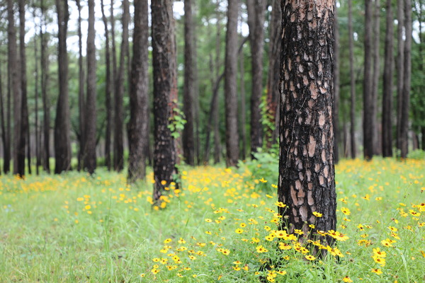
We conduct geospatial analyses to help guide decisions on wildfire risk and forest resources. Using geospatial data and technology, we develop tools that allow access to analyses and information.
-
From forest management to community forestry, explore our applications that help you make timely decisions in the management and protection of your forests.

-
The Texas Wildfire Risk Assessment Portal (TxWRAP) offers tools, maps, reports, and tips to prevent wildfires, protect your home, and preparing for wildfires.

-
Access current wildfire information, historical data, data downloads, and resources.

-
Tour through our interactive story maps to learn more about Texas state forests and arboretums, geocaching, famous trees of Texas, and other programs.