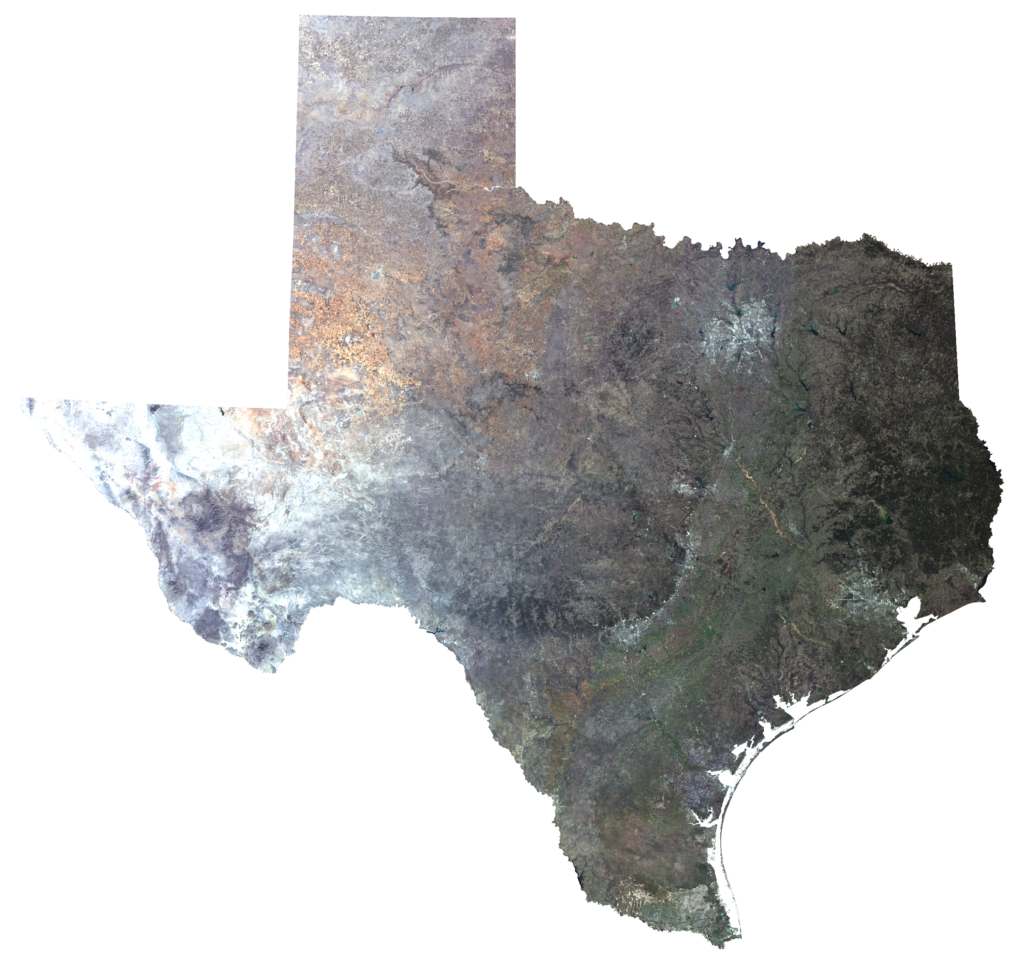
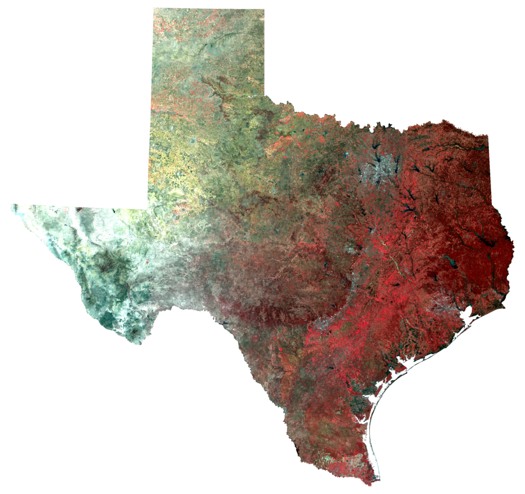
Ever wonder what Texas looks like from above — way above? These images were taken from a satellite passing over Earth. Since Texas is so big, it’s actually several images that have been mashed together, or in technical terms, mosaicked to form a composite image. The first image is what Texas would typically look like in the winter months to your eyes if you were in space. This is helpful, but a lot of the colors are pretty similar across the image. To get more information out of the image, we swap the red, green, and blue light our eyes are able to see with wavelengths of light outside the visible spectrum — things like near infrared and mid-infrared that our eyes can’t see but that we are able to pick up with photography. In the second image, near infrared is being shown as red. Plants reflect a lot of infrared light, so they appear red in the image. Manipulating the image like this lets us see what we normally can’t. It helps distinguish the vegetation — and between different types of vegetation. The deep reds are forests, while the lighter, brighter reds are other vegetation, like grass and crops. Since this is a winter image, we know that the forests showing up are evergreen: predominantly the pine forests of East Texas and cedar and live oak woodlands in Central and West Texas.


This image is a composite of several USGS Landsat OLI scenes that were collected in the winter months ranging from December 2013 to February 2015. The first view shows red, green, and blue light just as our eyes see light. The second is the same image but is displaying near infrared light as red, red light as green, and green light as blue. This combination is commonly referred to as false color infrared.