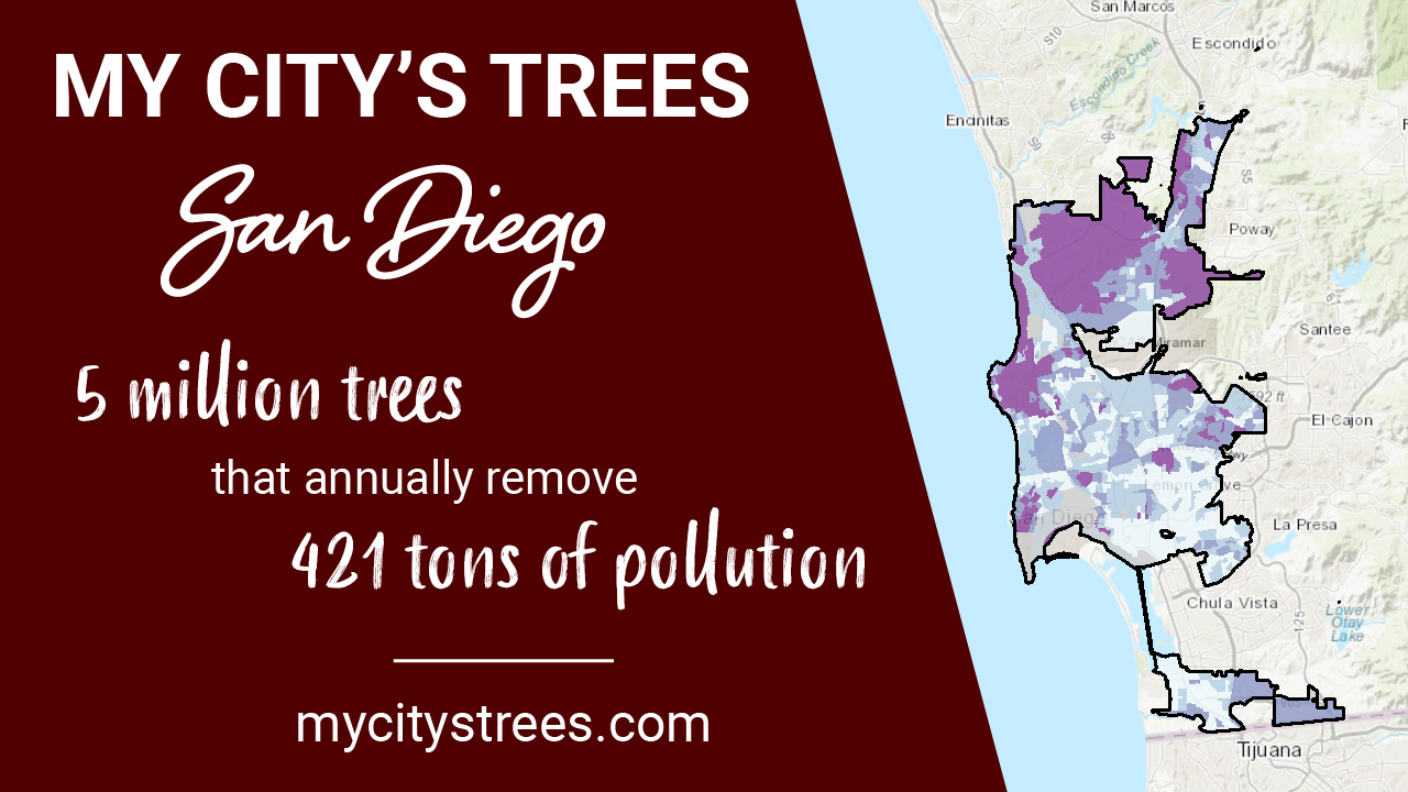
San Diego Urban Forest Inventory & Analysis data has been added to the My City’s Trees web application. San Diego is the first city outside of Texas to be included in the application. What does this mean? It means you can use My City’s Trees to explore the structure and values of San Diego’s urban forest.

My City’s Trees includes spatial themes that break down city-wide estimates into areas of the city. You can toggle classes within the themes to see the breakdown. San Diego has five different themes to explore: land cover (based on the National Land Cover Dataset), watersheds (based on the Watershed Boundary Dataset), pollution burden (from CalEnviroScreen 3.0), climate (from SanGIS), and income (from the American Community Survey). Each of these themes was adjusted to fit the boundary of the sample area, and classes were defined so that there would be a reasonable number of plots in each class.
What are you waiting for? Head to My City’s Trees and see for yourself!
You can subscribe to updates for all our apps at texasforestinfo.com by clicking “Sign Up” in the top menu.