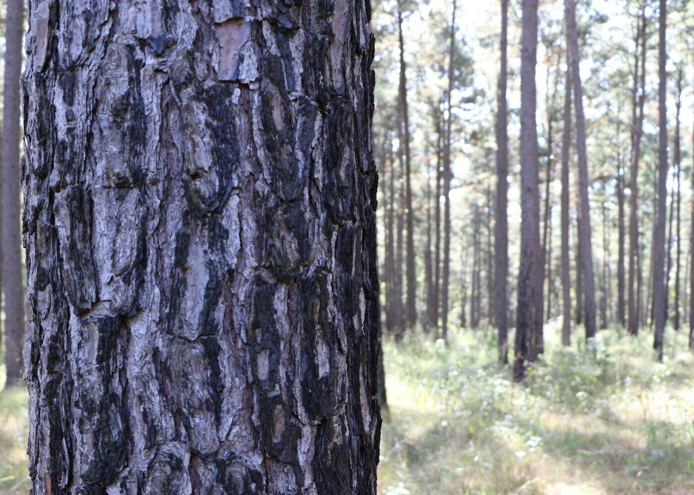
Forest Resources
We use the latest methods of data analysis and forest resource information to create decision-making products for landowners, researchers, and public officials. These products are especially useful after natural disasters.
Resource analysis also informs forest management and economic development by using the latest information gathered from several of our programs including:
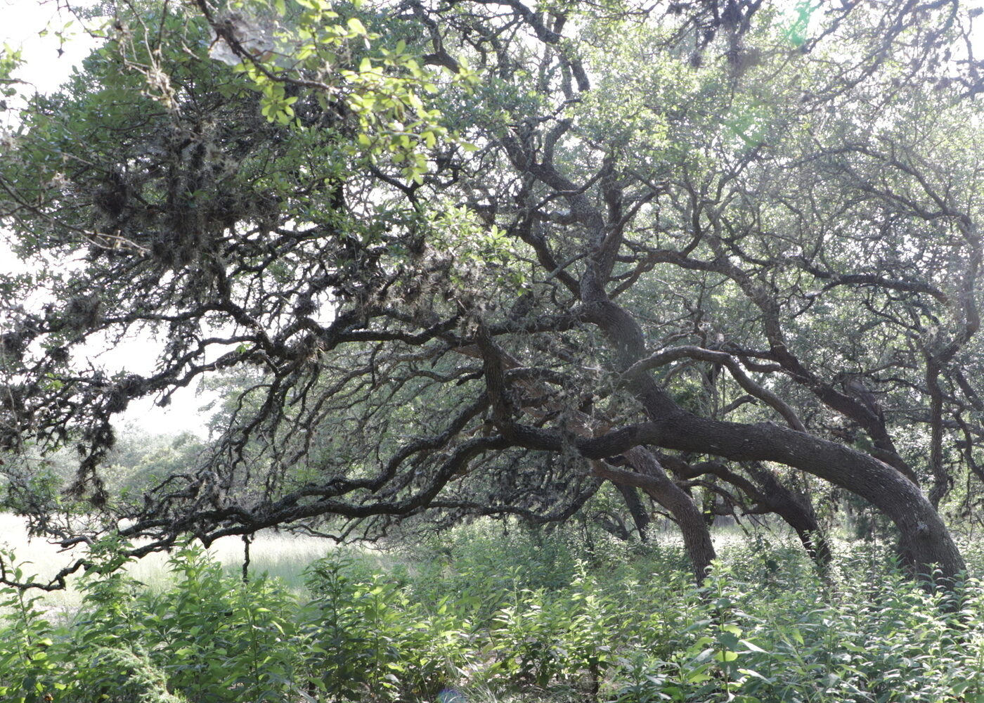
Discover Texas forests
Find easy-to-use tools, helpful resources, and expert tips to explore, manage, and protect Texas forests.
Damage assessments
We use field observations, forest inventory, and remote sensing to conduct tree damage assessments in communities and rural forests after natural disasters. Reports are used to estimate economic loss and facilitate recovery efforts. Recent examples are:

Additional resources
US Forest Service Forest Inventory and Analysis
FIA reports on status and trends in forest area and location. In the species, size, and health of trees. In total tree growth, mortality, and removals by harvest. In wood production and utilization rates by various products. And in forest land ownership.
Forest Inventory and Analysis EVALIDator
The EVALIDator can produce estimates of growth, removals, and mortality for individual inventories.
TreeSearch
Your one-stop site for Research & Development Publications online.
US Forest Service Southern Research Station
The Southern Research Station is part of the Nation’s largest forestry research organization—USDA Forest Service Research and Development—the leading organization for research on natural resource management and sustainability in the United States.
Southern Forest Futures Project
The project is a multi-year research effort that forecasts changes in southern forests between 2010 and 2060.
East Texas Pine Plantation Research Project
A long-term, comprehensive research program investigating the factors affecting the management of loblolly and slash pine plantations in East Texas.
PINEMAP
Focuses on the 20 million acres of planted pine forests managed by private landowners in the Atlantic and Gulf coastal states from Virginia to Texas, plus Arkansas and Oklahoma.
ForWarn: Satellite-Based Change Recognition and Tracking
Provides near-real-time tracking of vegetation changes across landscapes in the U.S. Useful for both monitoring disturbance events as well as year-to-year variability. Derived products can also be used to develop insights into seasonal and inter-annual dynamics.
Climate Change Atlas
Documents the current and possible future distribution of 134 tree species and 147 bird species in the Eastern U.S. and gives detailed information on environmental characteristics defining these distributions.
Burned Area Emergency Response (BAER) Imagery Support
A cooperative effort between the USDA Forest Service Remote Sensing Applications Center and the U.S. Geological Survey Center for Earth Resources Observation and Science. The Centers provide rapid delivery of satellite imagery, Burned Area Reflectance Classifications, and other geospatial data to Forest Service and DOI BAER teams, respectively.
Mapping the Severity of Springs Fire from Space
Space mapping of the explosive wildfire ignited in southern California near Camarillo in 2013.
Monitoring Trends in Burn Severity
A multi-year project designed to consistently map the burn severity and perimeters of fires across all lands of the U.S. from 1984 and beyond.
Landsat
Landsat represents the worlds longest continuously acquired collection of space-based moderate-resolution land remote sensing data.